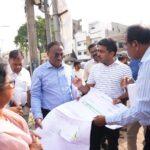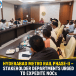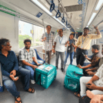
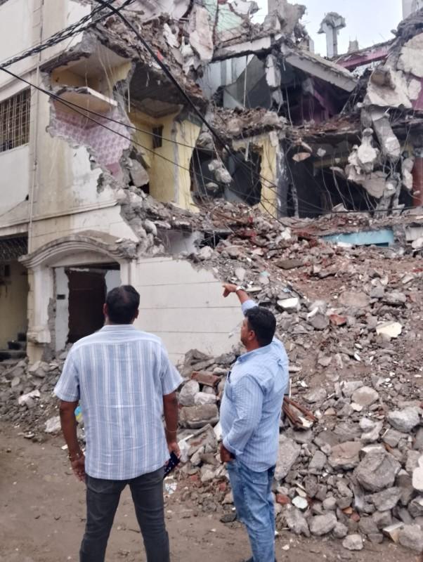
Hyderabad’s Old City is witnessing a long-awaited transformation as the 7.5 km Metro Rail Corridor between MGBS and Chandrayangutta enters a crucial phase. Decades of anticipation are finally turning into visible progress, with land acquisition and demolition works nearing completion and the required Right of Way (RoW) almost fully secured.
Backed by the vision of Chief Minister Shri Revanth Reddy, Hyderabad Airport Metro Limited (HAML) is driving the expansion works at a rapid pace to deliver Metro Rail connectivity to one of the city’s most historic neighborhoods. For the people of the Old City, this project represents more than just infrastructure, it is the fulfillment of a long-cherished dream.
Land Acquisition Gains Momentum
What began as an uphill task is now moving forward with clarity. The original estimate suggested that 1,100 properties would need to be cleared. Thanks to innovative engineering realignments, that number has been reduced to 886, significantly easing the burden on residents and businesses.
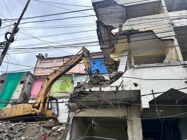
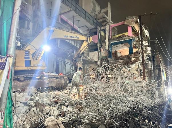
So far, over 550 properties have been demolished, while compensation of nearly ₹433 crore has been disbursed to affected owners. The remaining structures are being cleared in phases, with meticulous planning to ensure minimal disruption to daily life.
Overcoming Challenges with Care
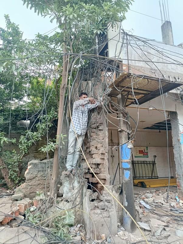
Despite seasonal rains, festivals, and Muharram processions, the works have continued smoothly, a testament to the coordination between multiple agencies and the sensitivity shown towards local communities. One of the biggest hurdles, the removal of complex overhead and underground electrical cables has also been successfully managed.
Preparing the Ground for Metro Construction
With the path almost ready, attention has shifted to technical groundwork that will support the construction of Metro pillars and stations. Key activities include:
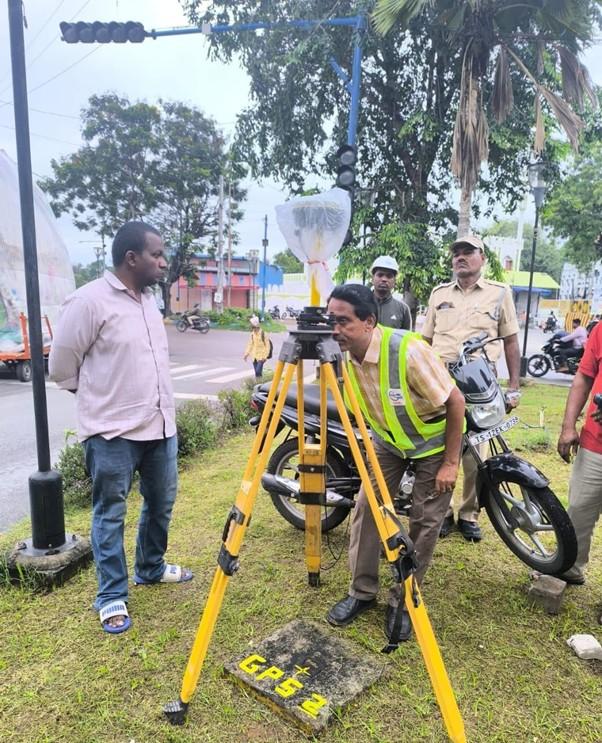
- High-accuracy DGPS surveys for precision mapping
- Relocation of underground utilities such as water, sewage, stormwater, power, and telecom lines
- Soil testing and geotechnical analysis to assess load-bearing strength
- Protection of sensitive heritage structures through refined alignment planning
Unlike traditional surveys, Differential GPS (DGPS) delivers digital mapping with pinpoint accuracy. Data from DGPS is being integrated with drone surveys, helping teams accelerate implementation. The corridor has been divided into segments, with control points established using GNSS (Global Navigation Satellite System) receivers to guide construction.
Ground Penetrating Radar (GPR) surveys are also being conducted to detect hidden subsurface utilities, ensuring no surprises during excavation. Meanwhile, geotechnical investigations are assessing soil strength and groundwater conditions to secure strong and stable foundations.
Respecting Heritage, Enabling Progress
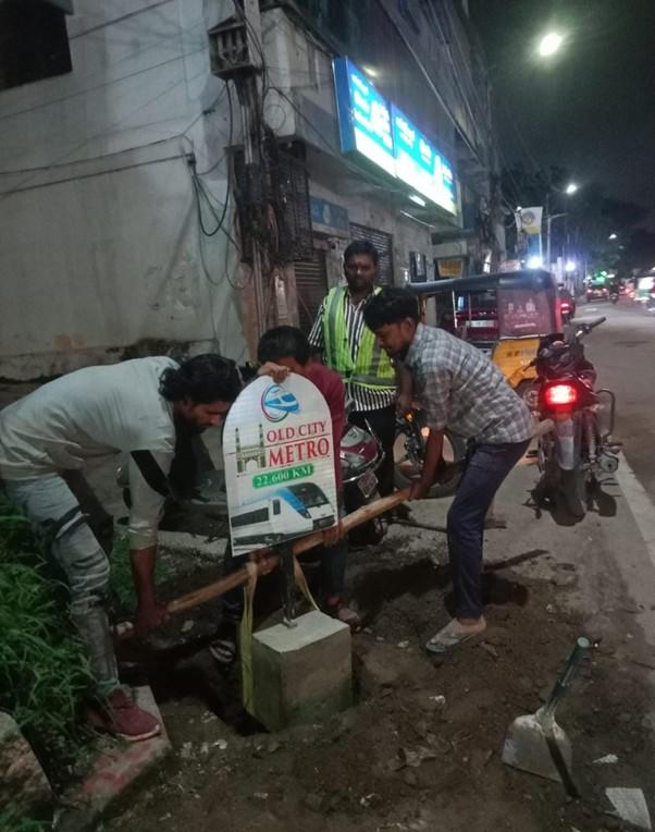
One of the unique challenges of this corridor is its proximity to heritage and religious structures. These have been carefully mapped, and the Metro alignment has been adjusted to ensure protection. Pillar locations are being finalized with milestone markers placed every 100 meters, setting the stage for construction to begin soon.
A Turning Point for the Old City
The Old City Metro Corridor is more than an infrastructure project, it is a catalyst for connectivity, mobility, and opportunity. Once operational, the line will link historic neighbourhoods with the rest of Hyderabad, easing congestion, boosting commerce, and bringing modern mobility to thousands of daily commuters.
With preparatory works reaching a decisive stage, the countdown to construction has begun. For Hyderabad’s Old City, the Metro is not just about pillars and tracks; it’s about shaping a future where tradition and modernity move forward together.